
We’ve arrived at the third chapter on the history of aerial photography. After having retraced its birth and outset (in this article) and its use in contemporary art, today we’re going to talk about its future.
A quick note before we start. Given the nature of our “Light&Fun” section, we’re going to try and cover this topic with optimism and lightness, leaving the conclusions to the experts.
Indeed, according to experts, our planet is continuously evolving on account of nature, the presence of humans, climate change and many other factors. Today, it’s extremely important to observe the ways and timescales in which this evolution is taking place in order to evaluate and understand our responsibilities and the opportunities we have to behave as more grateful guests on this planet.
Throughout the centuries, aerial photography, which in the past was used designing maps, has become an important ally of climate change research. How? From space, of course.
The astronaut Luca Parmitano’s words during a conference held while he was in orbit with the Leonardo Da Vinci Museum of Science and Technology in Milan, perfectly capture the role of aerial photography from space: “The deserts are advancing and the glaciers are melting […] all I had to do was look at the ‘dome’ to see profound and dramatic changes”.
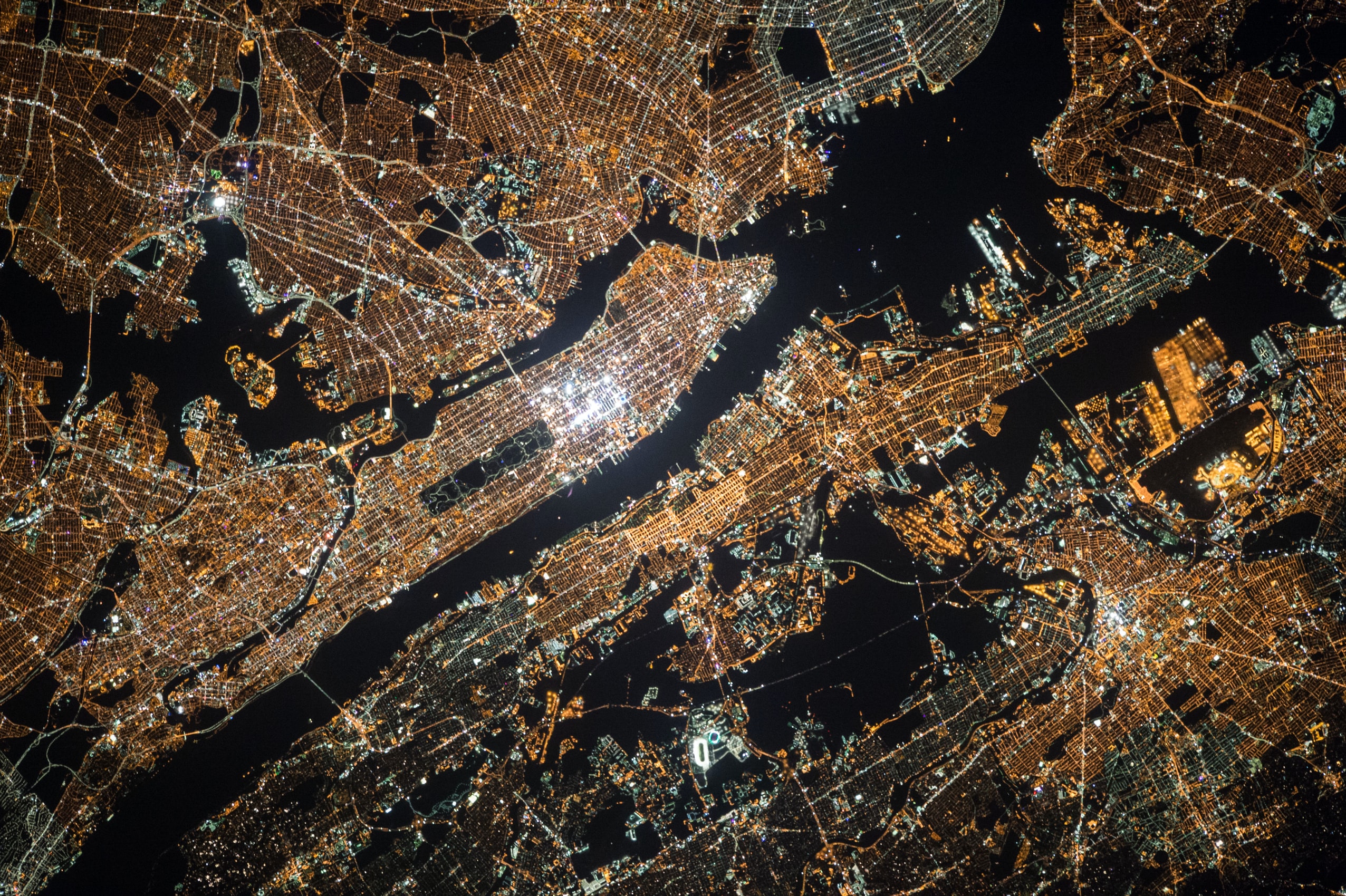
When we talk about photography from space, it brings to mind those spectacular HD photos that many of us use as screen savers on our laptops and smartphones. But the first grainy space images we have date back to 1935, when the US balloon Explorer II shot photos from 22 km (13.5 miles) up. Then there was the V2, a rocket launched into orbit by the Nazis and found by American soldiers after the end of World War II. The precious rocket had shot thousands of photos from 100 km (62 miles) up in the air. Finally, it was only in the 1960s that the flabbergasted world saw Earth from the Moon for the first time.
But let’s go back to us.
Today we can get to know the planet and study the changes taking place here on Earth thanks to satellites which send us telling images. The IMAGES of CHANGE project led by NASA is a precious source of photographic material that furnishes proof of climate change by splitting images according to causes and effects. In many cases, this has proved disastrous, which is worth remembering in itself.
Floods, earthquakes, volcanic eruptions and effects of industrial impact are just some of the disasters visible to the naked eye from satellites in orbit. Aerial photography offers a huge opportunity for humans to study and understand how to act in the present for the future.


